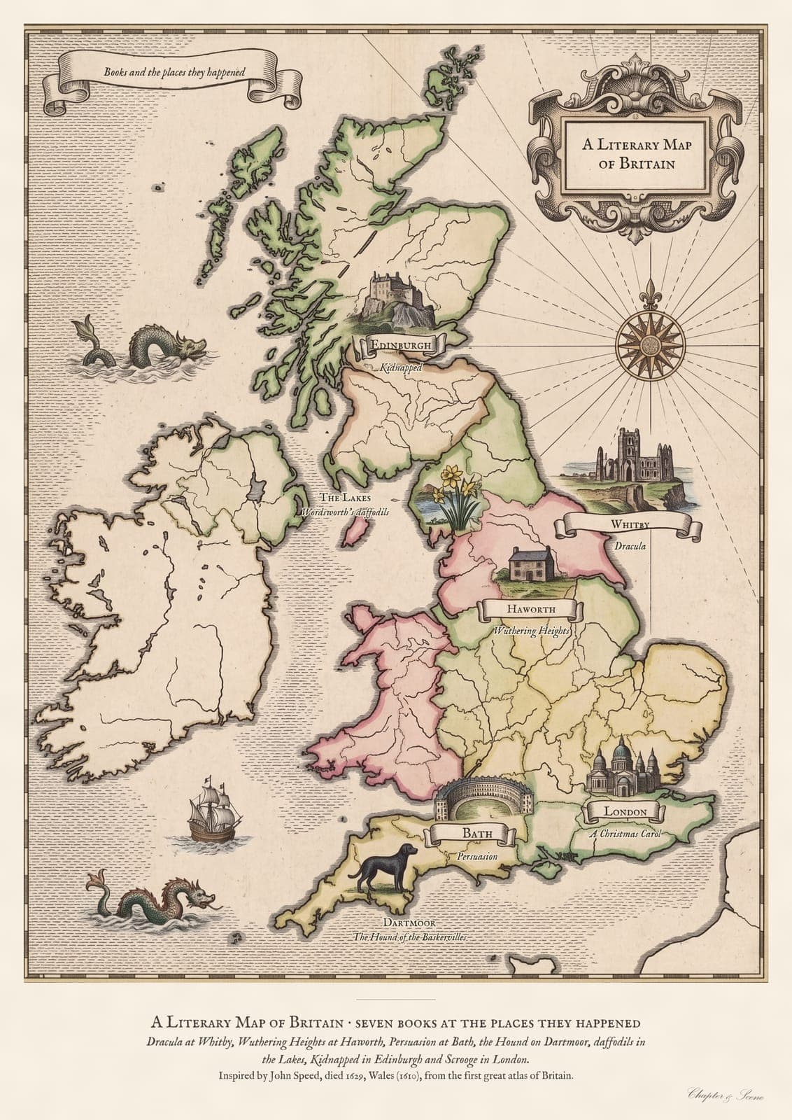
The scene
Britain drawn as an antique map, with each place marked and the book beside it: Whitby for Dracula, Haworth for Wuthering Heights, Bath for Jane Austen, Dartmoor for The Hound of the Baskervilles and Ullswater for Wordsworth's daffodils, each with a tiny vignette.
The style
A hand-coloured Jacobean county map: engraved outlines, soft colour by region, a compass rose, sailing ships and an ornate title cartouche.
The inspiration
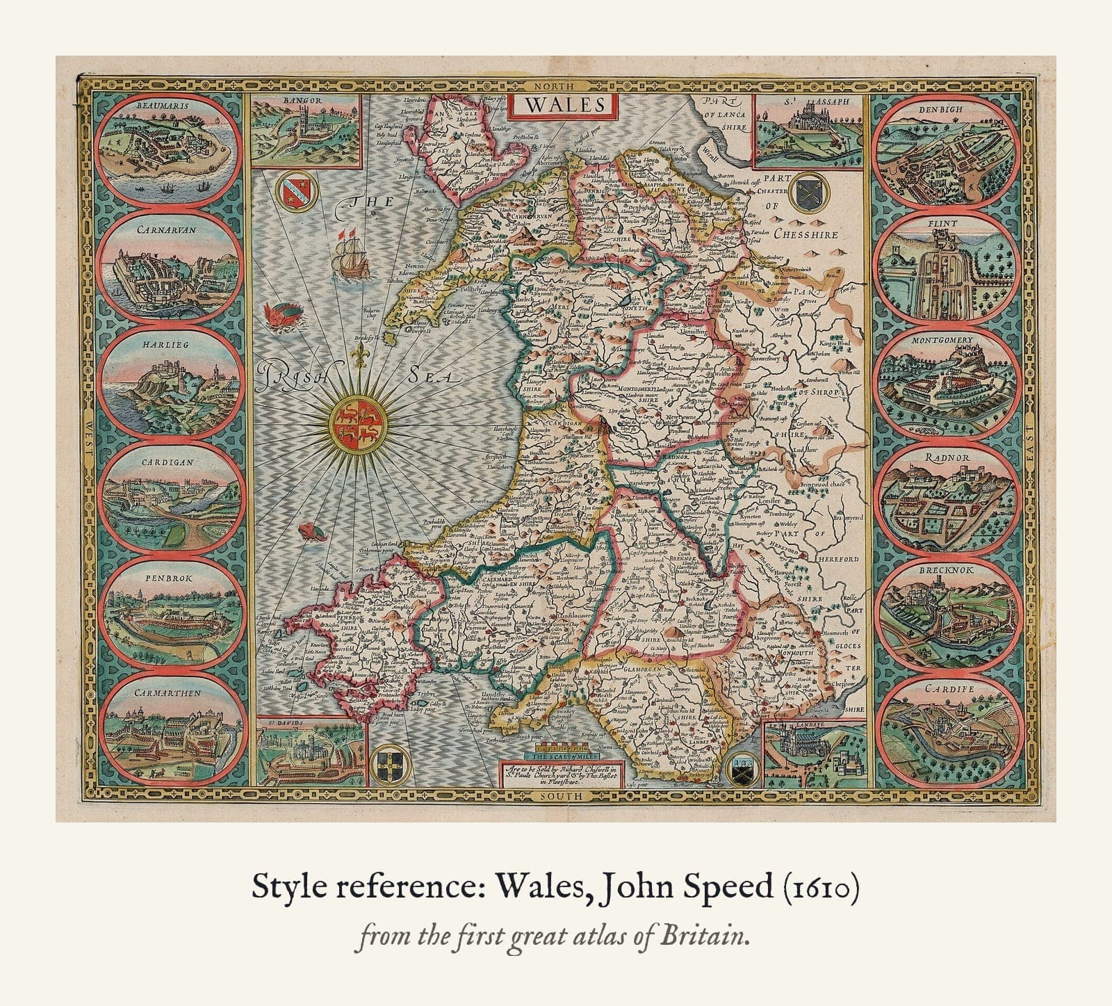
The look comes from John Speed's map of Wales, from The Theatre of the Empire of Great Britaine (1610): the engraved coastline, the hand-coloured borders and the title cartouche. The places and vignettes are my own.
How it's made
A print of a digital artwork in the style of an early seventeenth-century hand-coloured county map, not an original. Each carries my printed Chapter & Scene signature.