The scene
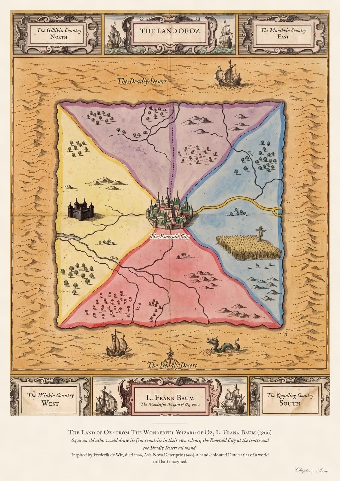
From The Wonderful Wizard of Oz by L. Frank Baum (1900). Munchkin Country lies in the east, Winkie Country in the west, Quadling Country in the south and Gillikin Country in the north, with the Emerald City at the centre, the yellow brick road winding to it and the Deadly Desert all around. It is drawn from the book, not the film.
The style
A hand-coloured Dutch atlas map of the 1600s: engraved coastlines and cartouches, soft washes of colour laid on by country, and decorated title panels at top and bottom.
The inspiration
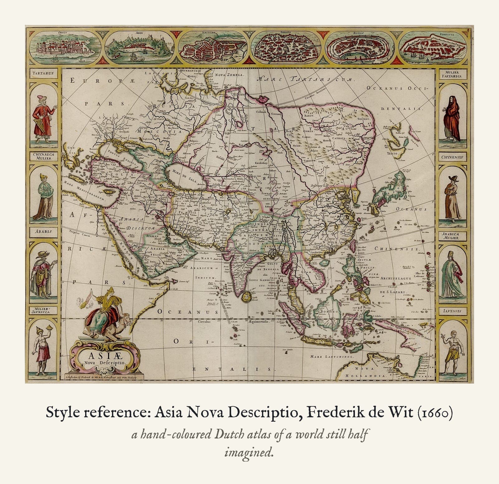
The look comes from Frederik de Wit's Asia nova descriptio (1660), after Jodocus Hondius: the engraved line, the hand-colouring in watercolour and the decorative border with its ships and sea creatures. The map itself is my own.
How it's made
A print of a digital artwork in the style of a seventeenth-century Dutch hand-coloured atlas engraving, not an original. Each carries my printed Chapter & Scene signature.